
Geraldton, Ontario

In the 1930s, Geraldton was Queen of the Little Long Lac Gold Field. Today, the town is a ragamuffin crouched in the doorway of a multibillion-dollar extraction enterprise.
On Monday, May 12, I paid a visit to Geraldton, my old home town, and man! did I pay ̶ in the coin of depression and disappointment.
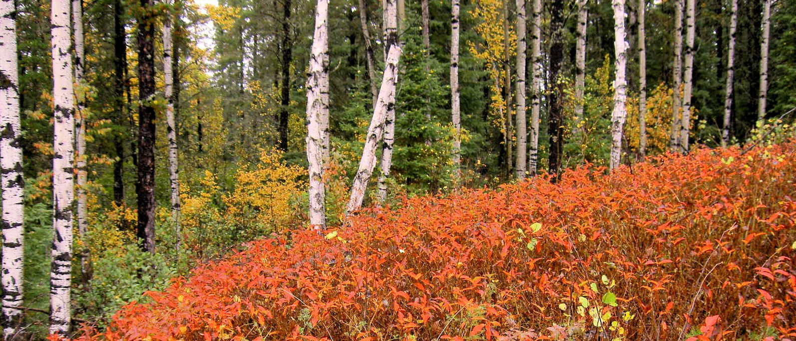
Coming from Thunder Bay, my new home, I first passed the Goldfield Road (no road sign). This used to connect Geraldton with Terrace Bay, 100 kilometres to the south as the cricket flies, on Lake Superior’s North Shore. The road was ungraded. Anyone travelling it can expect multi-ruts and a washout or two.

Lahti’s Road (unsigned) I knew was now the property of Greenstone Gold Mines. My wife’s best friend, Atsuko, grew up in a sawmill settlement there. The sprawling facility on the left was MTO’s new location, displaced when the mine constructed a bypass around MacLeod Townsite and the mine’s open pit. What dismayed me, looking to the right, was a growing mountain of waste rock stretching perhaps a kilometre from the pit. What? Did I expect the bush to stay green forever. Sure.


The stretch of TransCanada Highway 11 which used to lead to First Bridge (over the narrows of Kenogamisis Lake) is gone. Obliterated. As I learned later in the trip when I drove to First Bridge. The bypass (they call it a realignment) is a marvel of highway engineering. It skirts tiny Mosher Lake, once a secret fishing hole for the cognoscenti. I came to a crossroads. A literal crossroads. In a large empty space with some scrub timber. I had learned earlier that a major service centre is planned for this site ̶ they’re excavating and backfilling that swampland now. Turning right would take me to the open pit. Turning left would take me up the remnant of Michael Power Boulevard, to the lake and the town. An OPP vehicle approached from the right and stopped. I noted it came from the direction of the million-dollar police station that will soon tumble into the pit. The two-million-dollar heritage centre is already gone. I know the mountain is encroaching on the last 9 holes of the golf course. As for the historic and iconic mining headframe, who remembers it now?


I drove up the Boulevard, crossed the bridge, and pulled over. I started snapping pictures. The Offices of the Corporation of the Municipality of Greenstone stood quietly. It used to be located on a bog (what a surprise) where my best friend, Gary, stepped on a glass shard and gouged this foot. I rushed him to the nearest first aid station (his home) on my handlebars.


Across the street, the Crown & Anchor Motel has been renamed the Crown Bay Diner. It was closed. There’s a lot of that going on in town ̶ renaming businesses, and cutting back their hours.
I didn’t take snaps of Main Street in Jonesville, if people still refer to it by that name. In the ’50s, someone erected a two-storey rooming house on the west side. It eventually became The Dew Drop confectionary, and underwent several changes of name to become North Star Convenience. That sign is gone; looks as if another business has taken it over. The Roswell Tavern, on the east side, erected in the ’50s, eventually became The Blue Lagoon. In the ’70s, while campaigning for municipal council, I checked in occasionally, but never bought anyone a drink. Benny Pressman, a local character and once an unbeatable Mayor, used to buy rounds there. Now the outdoor sign reads Pizza. No activity in either place.
I drove to the north end of town. Snapped a photo of Rendezvous Bar & Grill. The structure began in the ’30s as The Dominion Bakery. Has enjoyed a long life as a tavern. Today it was closed. I’m told it opens only on weekends.

No changes for Nicole’s Variety & Gifts nor Country Club. Country Club, closed today, began as the Strand Theatre in the ’30s. As a teenager, I watched double and triple features every weekend. Like most small-town theatres in Canada, it closed, probably in the ’80s, killed by VHS and Beta. I’m guessing that the tavern opens for the evening crowd. Miners do get thirsty. The twelve-hour mining shift ends at 6:00 p.m. Their curfew is 10:00 p.m. I’m guessing no one drinks in the morning.
On First Avenue North, the post office and Daneff’s grocery store are still operating, though no cars were parked outside. Fawcett’s Funeral Home is now SDE G EDC, an economic development corporation.The last ride for Greenstone’s deceased will take them to a funeral home in Thunder Bay. I used to serve on the GEDC board when it operated in Jonesville.
Main Street, which runs, as you know, for about 2.5 km to the lake, was quiet. There’s a story about a local character who, in his cups, fired a rifle the length of the street. Fortunately, never hit anyone. Today, you could fire a cannon down Main and perhaps scare a few crows. In the four-block business section there might have been a dozen parked cars. There were even fewer active pedestrians. I was one.

Marino Hardware is always open. It it isn’t, knock on the door. Jim updated me on some current facts. He pointed out the poster for the high school reunion. I dropped a few dollars into his pocket (hey! I bought stuff). I walked down the east side of Main and up the west side. The Royal Bank was open; no customers.

The most noticeable change on the west side was the old Chapples block. Built in the ’30s, it has been a department store forever. Our family helped to keep it thriving, forking over cash for groceries, clothing, crockery, utensils, knickknacks . . . The cash was tucked into a tiny carriage and zipped along an overhead railway system to the main office. It returned with change and receipts. Today, the business has a new name: Red Apple.
The Subway was new to me. It used to be the Sears Catalogue Order Office. To the left, the former carpet store has long been repurposed, but I noted the windows have been boarded up. To the right is the TD Bank with its recent name change.

The second movie theatre in Geraldton never did open. Instead, the above-ground basement walls stood naked to the elements for decades. In the ’60s, some entrepreneur roofed it and created homes for many businesses. Fat Panda is new to me, and I’ve never bought a donut at Robin’s. Gay Murees Ladies’ Wear has gone out of business.

Walking up the west side, I snapped one new business and a long-time one now out of business. High Society Cannabis Co. has taken over an old structure (it had a small convenience store for a while). I’m told there is a second cannabis joint (pun intended). To its left is the empty office of Times Star Publishing. It can trace its history back to the ’30s. But it is still publishing, something. I noted in Marino’s a Times Star copy with news of the federal election, which is 2 weeks old.


I had to take a picture of the historical plaque. The gold mines that gave birth to the town of Geraldton are memorialized here. Twelve years from now, one hopes that someone will erect a plaque to memorialize the demise of this historic town. I have a faint hope.

On the east side of Main is the oldest structure still standing. The Geraldton Tea Room began as a butcher shop surrounded by the primeval forest. I remember in the ’50s sitting across from the proprietor of the day, a veteran warrior from China. I had joined my brother-in-law-to-be for a drink (hey! A soft drink). Eddie looked at me, gave the proprietor a nudge, and remarked, “You know, where you’re sitting now, he can snap your neck with a flick of his wrist.” What did I do? Did I jerk away? Did I leap up and skedaddle? No, no, no. I smiled. And waited for the flick.
The business is now called Popeye’s restaurant. Open a few hours most days. Beside it, boarded up, is the first store dedicated to men’s wear, repurposed as a grocery store, and then to a bustling convenience store, and now out of business.
I heard that Geraldton’s beer store closed not long ago. I stood on Main Street and snapped this pic. The LCBO, to my left, out of frame, is still operating. It was closed today.

I drove down Main to the Highway and turned left. Greenstone Gold Mine is a working mine. It will have security. And hundreds of working miners and working vehicles. Tours are scheduled only on special occasions, but from what I hear, visitors still don’t get a decent look. A buddy had advised me, if I wanted a peek at the working mine, take the back road. When I met a gate, I could view perhaps a couple dozen heavy machines in a parking lot.
I turned left, towards Longlac. Soon I was paralleling a mountain of waste rock. Just before First Bridge, I turned right into a dirt road. A sign on the right proclaimed that behind the sign was private property (or so I interpreted the sign). Soon I was traveling through the remnants of Hardrock Townsite, skirting the mountain of waste rock. All the former buildings on the right side of the road had been demolished. There were a few on the lakeside. There was a brand new building on the right, an enormous one, three storeys high. I guessed that mine managers used it.


A klick and a half from the highway, I stopped. Snapped pix. Solitary trucks were climbing the mountain and dumping. When I resumed travel, I met a hydro crew half-blocking the road. Why ask for trouble? I turned around.

I went to Rob and Carmen’s camp on Creelman Creek Road. They told me that Wildgoose Lake had opened up the day before. After a delightful dinner, we sat around a campfire and chatted. The season’s first mosquito zoned in. Swat. The second one drew blood. I donned a jacket with long sleeves and a hood. We chatted till dark.

Couldn’t hear any ravaging of the earth’s crust. In the blessed silence, the primeval forest embraced me. As for this day trip, the images are fading. I remember the town as it once was; it was a queen, not a ragamuffin. And the memories, well, the memories are golden.


Comments
6 responses to “NEXT DOOR TO A GOLD MINE”
Enjoyed the read,thank you .
This is beyond sad. I am forever grateful for the Geraldton memories. You brought on a few tears Edgar. One has to wonder how long before our beloved in-our-youth stomping grounds becomes a ghost town. Tnx Edgar for always taking the time to share the old & the new about this area so many of us called home….
Hi Edgar:
In reference to the mini-mall (theatre that never got built), it was Ken Zeran who bought it, finished the structure and moved his Palm Dairy into it.
I recall renting the front office space from Ken, where Robert Plouffe and I started our Kentucky Style Chicken Coop business in spring 1973. We sold it to Gordon Furlong within a few months.
By that time, the dairy was no longer operating, with products being shipped in from Thunder Bay.
Palm Dairy was originally located on the northeast corner of 3rd Avenue and Main where Kelly Assad built his mens wear store (Val’s Variety).
And this is why we left! So disappointed with the Mayor and Council for not ensuring a Mine would bring economic security for our community. Missed opportunities or blatant laziness….one has to ask why residents concerns and requests are never addressed. Rising taxes and utilities( water) seem to be the only solution to put a bandaid on a growing problem. What are the future goals and when will you include your community with this information. Why is the Mine not contributing to the town’s needs? Perhaps they should have consulted with Marathon on how they incorporated Hemlo to improve their community!!
Edgar
Thanks for publishing your blog. I enjoyed reading it though it certainly is depressing to read, and I still live in Geraldton. The mine might be an economic boom, but certainly not to most locals, unless they are employed by it.
K
Hi Edgar
This is Gerald Hara. I’m glad I read your article today because I am planning to stay in Geraldton at the Assad’s camp for a week and then head to Thunder Bay for a week.
I’m not surprised to see the piles of rock because with open pit mining they just blast and remove the rock. The amount of real gold in the rock is minute compared to the mass of rock removed so the waste has to be dumped somewhere. I remember driving through Sudbury many year’s ago and seeing the same mounds of rock.
Open pit mining should be outlawed if the mine is too close to a community or town that is established and has local businesses and a chamber of commerce. I like the name Greenstone but to see Geraldton become from being the largest town in the area with government offices to what is remaining is a travesty. Open pit mining is similar to clear cutting except that there is no digging but devastation to the local environment.
I am sure everyone in Geraldton was expecting as I was for the town to grow in size as it should have if the miners were living in the actual town. Whoever let this happen to the businesses in town and to the remaining people should be ashamed of themselves. How could any town or community let a gold mine come in buy up everything outside of town limits and justify all of the changes to where the police station should be, the local golf course the main highway into town being re-routed. That should have never happened and the mine should have been forced to build their own roads and dumping fields away from the town limits.
Enough said. I will be going the week of June 16th and luckily staying out at the second bridge away from the big hole in the ground surrounded by all of the rock removed from the hole.
Thank you Edgar for bringing this to light. It’s not what one would ever want for the town that I was born in and grew up before I move to Toronto.
Thanks again for the article.
Gerald Hara